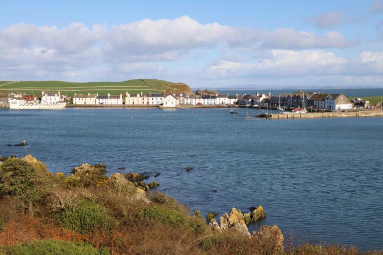
Isle of Whithorn Harbour is at south-eastern end of the Machars peninsula. It is supervised by a part time harbour master. There is no active management of vessel movements.

Isle of Whithorn facilities
Isle of Whithorn facilities include a:
- shop
- post office
- hotel
- bowling green
Fuel is not available.
Harbour documents
Our harbour documents section has:
- a berths and moorings application form
- our harbours directory
- harbour fees and charges
- harbour electricity supply charges
Pay for a visitor berth booking
If you have applied for a berth, you can pay for it online.
Pay for a visitor berth booking
Report an incident
An incident is any event that causes harm, damage or environmental contamination to a person, vessel or object within the waters of a statutory harbour area or its approaches.
Near misses are events that had the potential to cause an incident. Near misses should also be reported.
Nautical information
Nautical information for Isle of Whithorn Harbour includes:
- latitude at 54º 41' 54"
- longitude at 04º 21' 48" W
- admiralty charts: 1411, 1121, 1826, and 2094
- Imray: C62
Tidal range and depth
Isle of Whithorn Harbour has the following tidal range and depths:
- springs – 6.2 metres maximum
- neaps – 3.3 metres maximum
The harbour is exposed to the south and southerly gales drive a swell into the beach north of the pier.
There can be significant currents in the approach depending upon the tide in the Solway Firth.
Harbour empowerment order
We hold an empowerment order for Isle of Whithorn Harbour. This order allows us to legally improve, maintain and manage the harbour.
Isle of Whithorn Harbour
Harbour Row
Isle of Whithorn
DG8 8LL
United Kingdom
Opening times
The harbour master is available weekdays, 8.30am to 4pm.
Enquiries
Isle of Whithorn Harbour Master